Pictured Rocks National Lakeshore
As an Amazon Associate I earn from qualifying purchases. We also use affiliate links (including Skimlinks and Partnerize/Expedia). If you buy through our links, we may earn a commission at no extra cost to you. Full disclosure here.
Pictured Rocks National Lakeshore: Michigan’s Stunning Coastal Treasure
Explore Pictured Rocks National Lakeshore: Michigan’s Natural Wonder
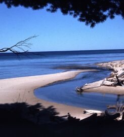
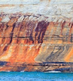
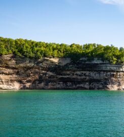
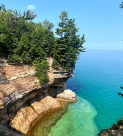
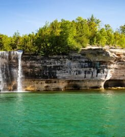
- The park stretches for 42 miles along Lake Superior, featuring towering multi colored sandstone cliffs, pristine beaches, and cascading waterfalls
- Established in 1966 as America’s first National Lakeshore
- Unique for its combination of dramatic cliffs, clear waters, and diverse ecosystems
Must-See Features of Pictured Rocks National Lakeshore
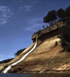
- Numerous waterfalls including Munising Falls, Miners Falls, and Chapel Falls
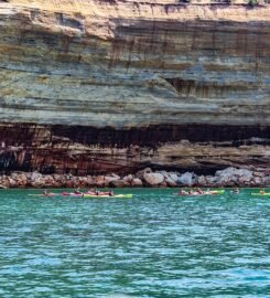
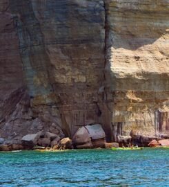
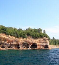
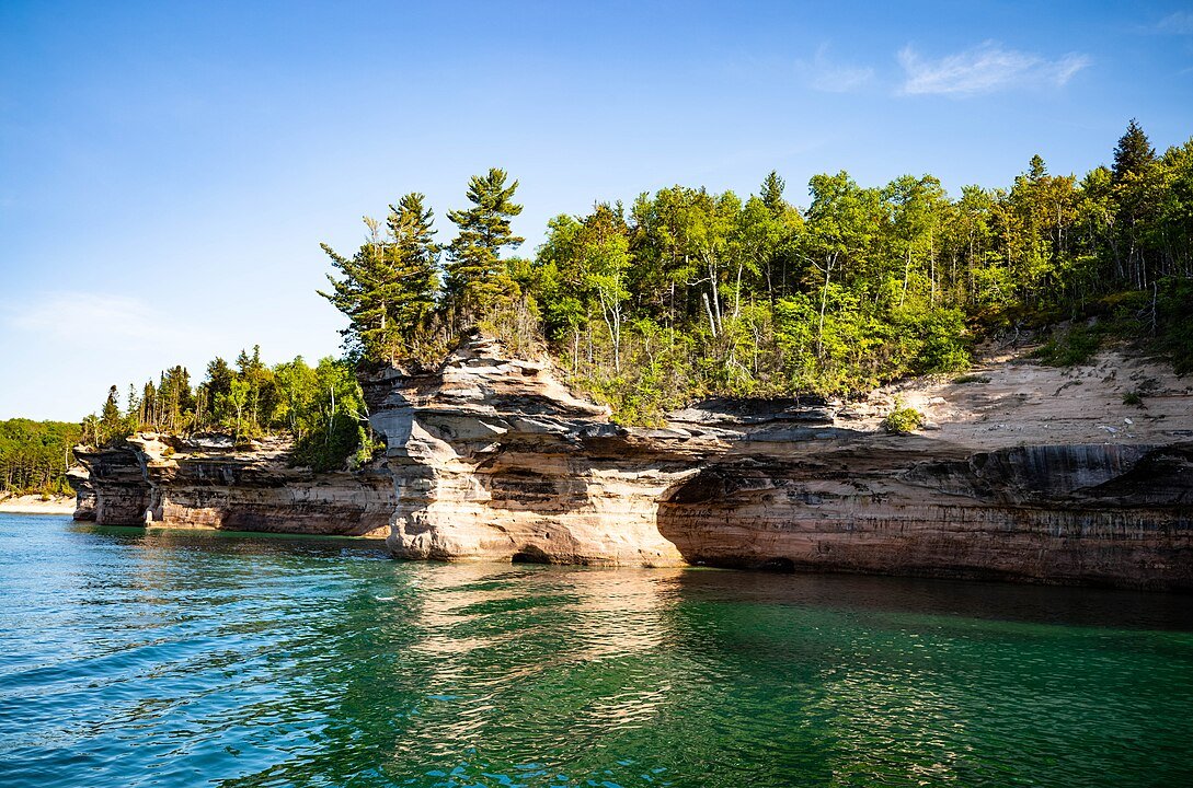
- Iconic sandstone cliffs rising up to 200 feet above Lake Superior
- More than 100 miles of hiking trails
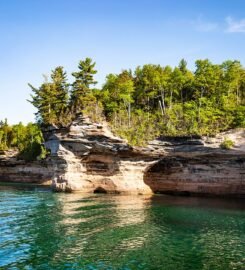
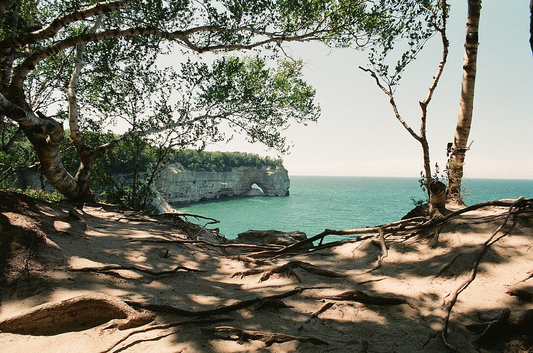
- Notable landmarks including Miners Castle, Chapel Rock, and Grand Portal Point
- 12 miles of pristine beaches
Things to Do at Pictured Rocks National Lakeshore
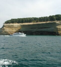
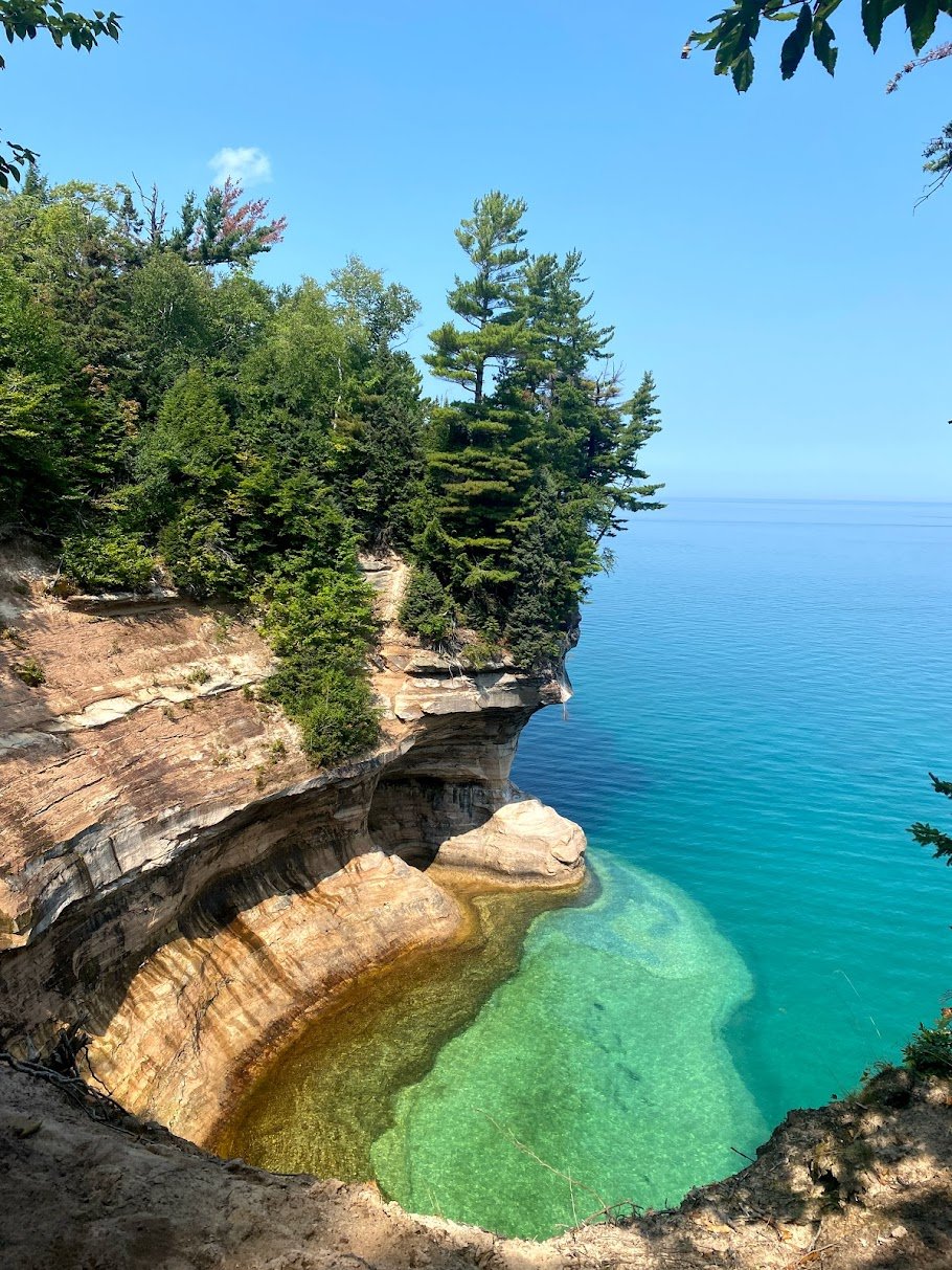
- Experience the cliffs from multiple perspectives – by boat, from hiking trails above, or via kayak on Lake Superior
- Explore secluded beaches and hidden coves accessible only by trail or water
- Witness the changing colors of the cliffs throughout the day as sunlight plays across the mineral-stained rock faces
- Discover historic shipwrecks visible through crystal-clear Lake Superior waters
Pictured Rocks Boat Tours & Cruises: Complete Guide
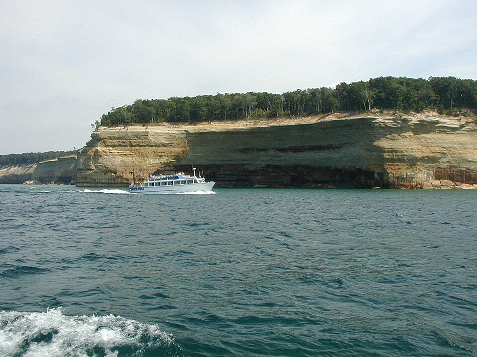
- Pictured Rocks Cruises – Traditional 2.5-hour narrated tours offering close-up views of the cliffs
- Riptide Ride – An exhilarating high-speed boat tour providing an adventurous alternative to traditional cruises
- Glass Bottom Boat Shipwreck Tours – Viewing preserved shipwrecks in Lake Superior’s clear waters
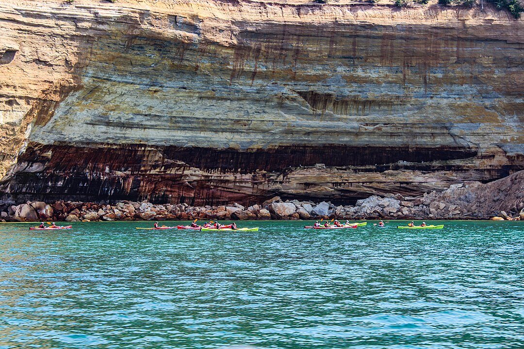
- Guided kayak tours available from multiple outfitters including Pictured Rocks Kayaking and Northern Waters Adventures
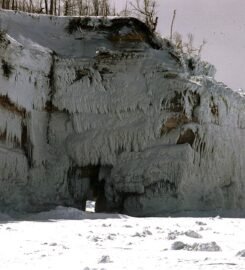
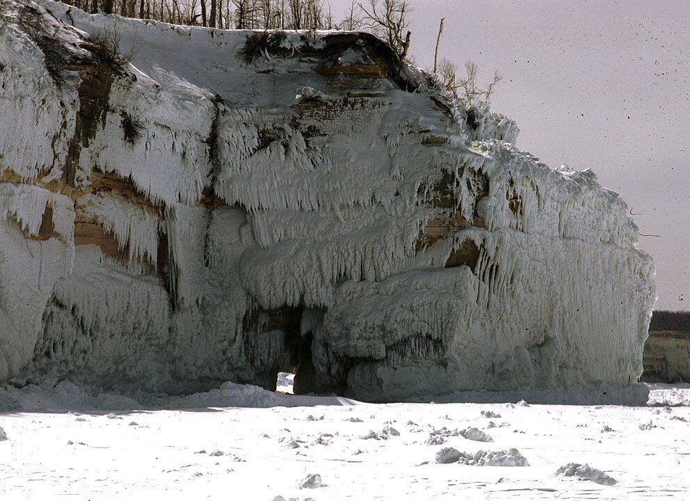
- Winter ice cave tours when conditions permit
Pictured Rocks by Season: Best Times to Visit
Summer (Peak Season: June-August)
- Kayaking and boat tours in full operation
- All hiking trails accessible
- Swimming and beach activities
- Waterfalls at peak flow during early summer
Fall (September-October)
- Spectacular fall colors along the cliffs and forest trails
- Less crowded trails and cooler hiking conditions
- Continued boat tours (weather permitting)
- Prime photography opportunities with autumn lighting
Winter (November-March)
- Ice climbing on frozen waterfalls
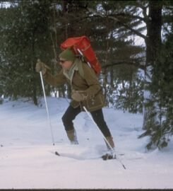
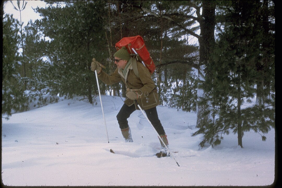
- Snowshoeing and cross-country skiing
- Ice caves formation (when conditions allow)
- Winter camping for experienced adventurers
Spring (April-May)
- Waterfalls at maximum flow from snowmelt
- Early season hiking (be prepared for mud)
- Wildflower blooming period
- Fewer crowds before peak season
Pictured Rocks National Lakeshore Trip Planning Guide
Best Time to Visit Pictured Rocks & How Long to Stay
Recommended minimum visit: 2-3 days to experience key attractions
Best times: Summer (June-August) for water activities and hiking, Fall (September-October) for colors
Peak season: Mid-June through August: May and September offer fewer crowds with moderate weather
Pictured Rocks Weather Guide: Best Times to Visit
Summer temperatures typically range from 50-80°F
Lake Superior creates its own weather patterns – be prepared for sudden changes
Winter temperatures can drop well below freezing with significant snowfall
Strong winds are common along the cliffs
Pictured Rocks Packing List: Essential Items & Gear
- Sturdy broken in hiking boots for rocky and sometimes muddy trails
- Layered clothing (weather can change quickly near Lake Superior)
- Rain gear – the Lake Superior region is known for sudden weather shifts
- Camera for capturing cliff formations and waterfalls
- Water bottles
- Bug spray (especially important during summer months)
- Sun Screen
- Trail Snacks
- Hiking Bag
- Snowshoes or skis in the winter
Top Things to Do at Pictured Rocks National Lakeshore
Kayaking beneath the towering cliffs
Hiking to Chapel Rock and Chapel Beach
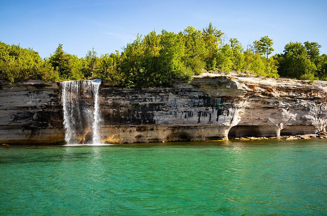
Viewing Spray Falls from the water
Winter ice climbing on frozen waterfalls
Photographing Miners Castle at sunset
Backcountry camping along the North Country Trail
For guided experiences, Northern Waters Adventures offers guided kayak tours and Michigan Ice Fest provides ice climbing guides and equipment during winter months.
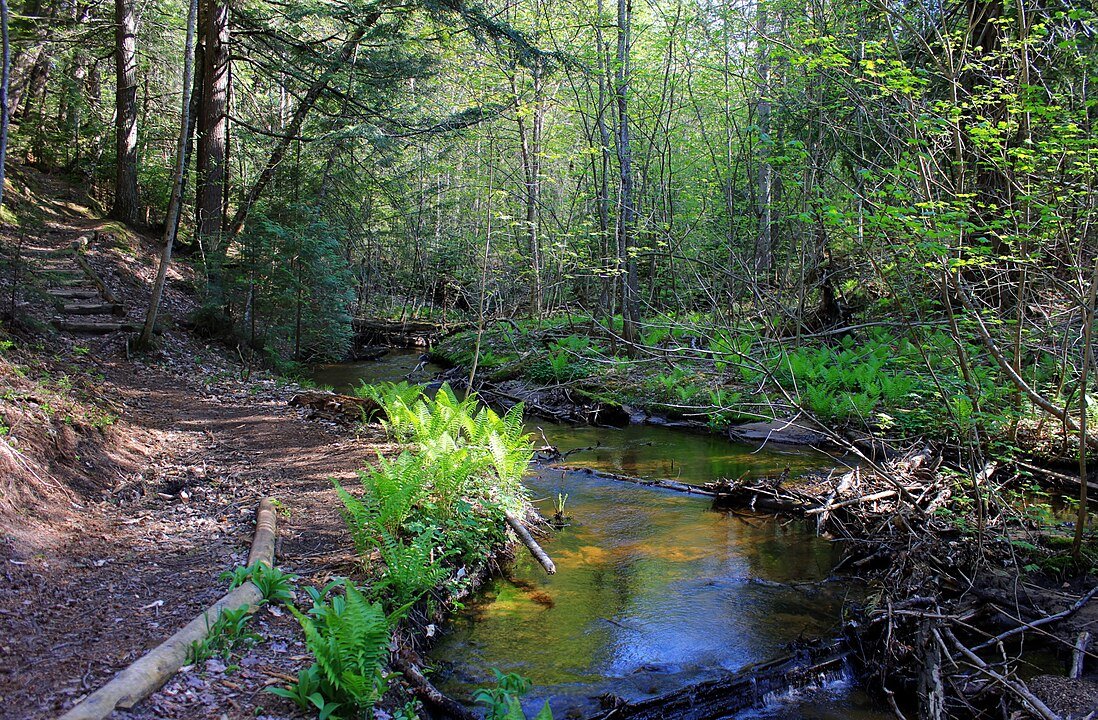
Most Scenic Hikes at Pictured Rocks National Lakeshore: Trail & Viewpoint Guide
Signature Hiking Trails
Chapel Basin Loop (10 miles round trip)
Most dramatic cliff views in the park
Includes Chapel Rock, Chapel Beach, and Chapel Falls
Views of Grand Portal Point
Multiple overlooks of Lake Superior
Miners Castle Trail (1 mile round trip)
Most accessible dramatic viewpoint
Upper and lower viewing platforms
Perfect for sunrise photography
Historical significance as park’s most recognized formation
Beaver Basin Wilderness Loop (13 miles)
Remote wilderness experience
Access to secluded beaches
Stunning views of Twelvemile Beach
Prime spots for wildlife viewing
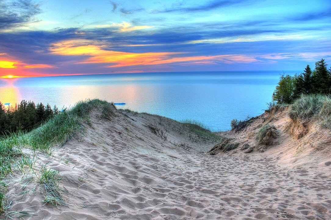
Best Photography Locations at Pictured Rocks National Lakeshore: Hidden Gems
Log Slide Overlook
- GPS: 46.6517° N, 86.0990° W
- Location: Grand Marais end of the park
- Directions: From Grand Marais, take H-58 west for about 11 miles to Log Slide Road
- Parking lot available at the end of Log Slide Road
- Short 0.2-mile walk from parking to overlook
- Best for: Sunset shots, Lake Superior views
- Seasonal Notes: Accessible year-round, but winter requires snowshoes or cross-country skis Snowshoes recommended for first-time winter visitors due to simpler navigation
- Snow drifts can create unique photo opportunities in winter
- Fall colors typically peak early-mid October
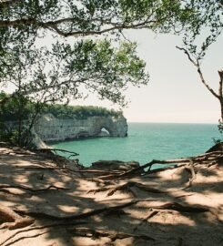
Lover’s Leap Arch
- GPS: 46.5331° N, 86.4897° W
- Location: Between Miners Beach and Mosquito Beach
- Access via North Country Trail
- Start at Miners Beach parking lot
- Hike east on North Country Trail for approximately 1.5 miles
- Seasonal Notes: Best photographed May-October
- Spring waterfalls add extra element to shots
- Limited winter access due to ice conditions
Grand Portal Point
- GPS: 46.5367° N, 86.4831° W
- Start at Chapel parking lot
- Follow Chapel Basin Loop Trail
- About 4.3 miles from trailhead
- Seasonal Notes: Summer offers best trail conditions
- Fall colors create stunning cliff contrasts
- Winter access extremely challenging, not recommended
- Spring can be muddy but offers dramatic wave action
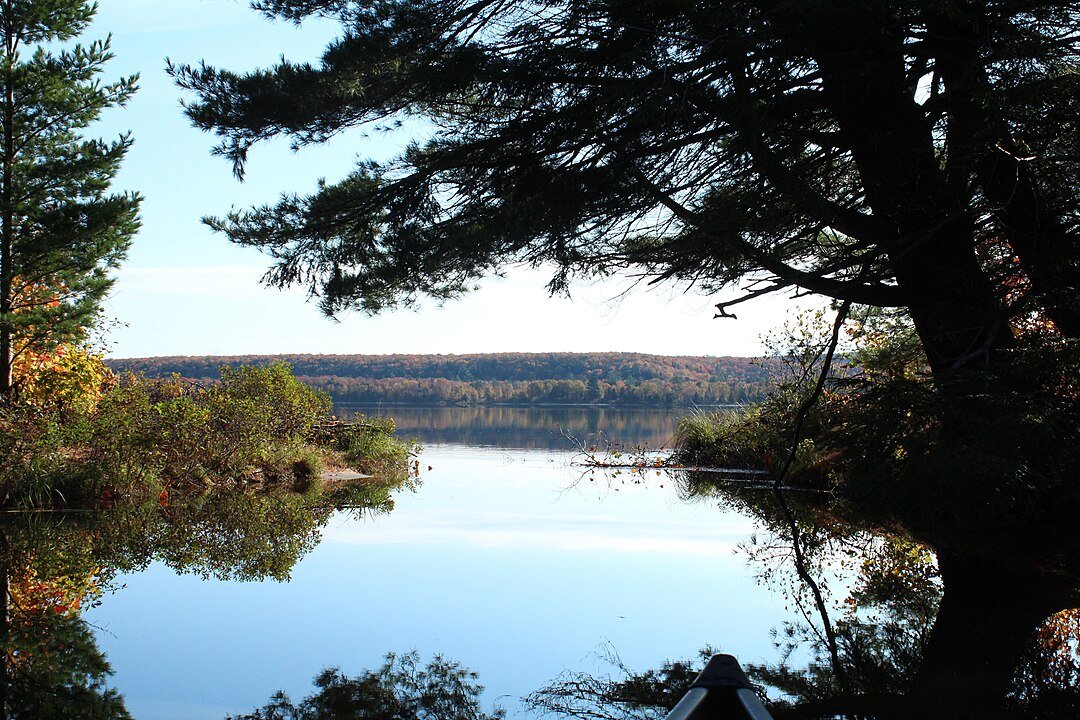
Little Beaver Lake
- GPS: 46.5811° N, 86.3181° W
- Drive to Little Beaver Lake Campground
- Short 0.25-mile walk to lakeshore
- Seasonal Notes: Misty mornings common in spring/fall
- Winter creates unique ice formations
- Summer offers mirror-like reflections at dawn
- Fall colors reflect in calm waters
Spray Falls from North Country Trail
- GPS: 46.5919° N, 86.4319° W
- Start at Little Beaver Lake Campground
- Follow trail to Spray Falls overlook (1.5 miles)
- Seasonal Notes: Peak flow in spring
- Summer offers most reliable viewing conditions
- Fall combines waterfall with autumn colors
- Winter creates impressive ice formations

Pictured Rocks National Lakeshore Backcountry Camping Guide: Sites & Tips
Chapel Beach Sites
Located near dramatic cliffs
Beach access for sunset views
Natural spring nearby
Close to multiple hiking trails
Benchmark Campsite
Most remote site in the park
Perched above Lake Superior
Requires significant hiking to access
True wilderness experience
Mosquito Beach Sites
Unique geological formations nearby
Access to secluded beach
Great for stargazing
Natural rock shelters nearby
Pictured Rocks Visitor Information: Essential Planning Guide
Pictured Rocks Facilities Guide: Park Services & Amenities
- Visitor Center in Munising – Maps, information, and ranger programs
- Restrooms at major trailheads and beaches
- Limited food service – pack snacks and water
- Small gift shops at visitor center and cruise dock
- No fuel stations within the park – fill up in Munising or Grand Marais
Pictured Rocks Safety & Guidelines: What You Need to Know
- Leave No Trace principles strictly enforced
- Pets must be leashed at all times
- No drones allowed within park boundaries
- Backcountry camping requires permits
- Swimming permitted but no lifeguards on duty
- Cliff climbing prohibited
- Stay on marked trails to prevent erosion
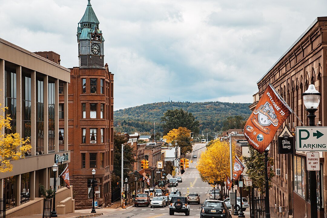
Getting to Pictured Rocks: Transportation & Services Guide
- Car rental available in Marquette (nearest city)
- Travel insurance recommended for remote location
- Nearest Airport: Sawyer International Airport (MQT) in Marquette, about 45 minutes away
How to Get Around Pictured Rocks National Lakeshore: Transportation Guide
- Parking available at major trailheads – Pass needed
- Premium parking at Miners Castle and Munising Falls
- No public transit within the park
- Rideshare limited in the area – personal vehicle recommended
- Park entrance located 4 miles east of Munising on Alger County Road H-58
Pictured Rocks on a Budget: Money-Saving Guide
- America the Beautiful Pass covers entrance fees ($80 annually)
- Visit during shoulder season (May or September) for lower accommodation rates
- Book boat tours in advance for early booking discounts
- Camping is most economical accommodation option
- Group rates available for boat tours (10+ people)
Beyond Pictured Rocks National Lakeshore: Upper Peninsula Area Guide
Traditional Upper Peninsula Dishes: What to Eat Near Pictured Rocks National Lakeshore
- Fresh Lake Superior whitefish
- Pasties – traditional Upper Peninsula mining food
- Local berry pies (especially thimbleberry when in season)
- Smoked fish from local smokehouses
- Trenary Toast: The Original UP Classic
Explore More of the UP: Attractions Near Pictured Rocks National Lakeshore

Exploring Further: Must-See Upper Peninsula Destinations
- Tahquamenon Falls State Park – Upper Falls is the largest waterfall east of the Mississippi
- Mackinac Island – No cars allowed – bike and horse transportation
- Porcupine Mountains Wilderness State Park – Lake of the Clouds overlook
- Quincy Mine – well-preserved copper mine
- Soo Locks – most well-known historical sites in Michigan’s Upper Peninsula
- Kitch-iti-kipi – natural wonder
Upper Peninsula Festival Guide: Events Near Pictured Rocks National Lakeshore
- Michigan Ice Fest (February) – Premier ice climbing event
- Pictured Rocks Days (June) – Community celebration with local vendors
- Grand Marais Music & Arts Festival (August)
- Rekindle the Spirit (December) – Small-town holiday charm
Where to Shop Near Pictured Rocks National Lakeshore: Local Guide
Best Restaurants Near Pictured Rocks National Lakeshore: Local Dining Guide
Best Fine Dining Restaurants Near Pictured Rocks National Lakeshore
- Tracey’s at Roam Inn
- Elizabeth’s Chop House (Marquette)
Best Casual Restaurants Near Pictured Rocks National Lakeshore
- Miners Pasty Kitchen – Traditional UP pasties
- Pictured Rocks Pizza – Popular local spot
- The Brownstone Inn – Historic restaurant with lake views
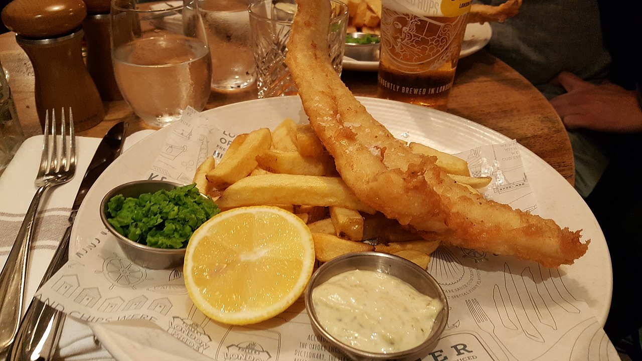
- Cap’n Ron’s Fish ‘N’ Chips – Fresh Seafood restaurant
Quick Lunch Spots Near Pictured Rocks National Lakeshore: Fast Options
Best Places to Stay Near Pictured Rocks National Lakeshore: Lodging Guide
Upscale Hotels Near Pictured Rocks National Lakeshore: Premium Stays
Best Mid-Price Hotels Near Pictured Rocks National Lakeshore
Budget-Friendly Hotels Hotels Near Pictured Rocks National Lakeshore
Campgrounds Near Pictured Rocks National Lakeshore: Complete Guide
- Munising Tourist Park Campground
- Bay Furnace Campground
- Woodland Park Campground
- Campspot – Campground Locator
Rustic Camping Near Pictured Rocks National Lakeshore: Wilderness Sites
- Park Service Backcountry Sites – Most primitive
- Little Beaver Lake Campground – Remote but vehicle accessible
- Bear Lake Campground – Basic amenities, great location

Pictured Rocks Boat Tours & Cruises: Complete Guide
- Pictured Rocks Cruises – Classic 2.5-hour tours
- Riptide Rides – Fast-paced adventure tours
- Glass Bottom Shipwreck Tours
- Seasonal sunset cruises (summer only)
Plan Your Pictured Rocks Visit: Helpful Resources
FAQs
- How long should I plan to stay?
- 2-3 days recommended to experience key attractions
- When is the best time to visit?
- Summer for warm-weather activities, Fall for colors, Winter for ice climbing
- Are reservations required for boat tours?
- Highly recommended during peak season (June-August)
- Can I bring my pet?
- Yes, but must be leashed at all times
- Are there bears in the area?
- Yes, proper food storage required when camping


