


Mount Arvon Michigan: Complete Guide to the State’s Highest Point
As an Amazon Associate I earn from qualifying purchases. We also use affiliate links (including Skimlinks and Partnerize/Expedia). If you buy through our links, we may earn a commission at no extra cost to you. Full disclosure here.
Mount Arvon Michigan: Complete Guide to Hiking the State’s Highest Peak
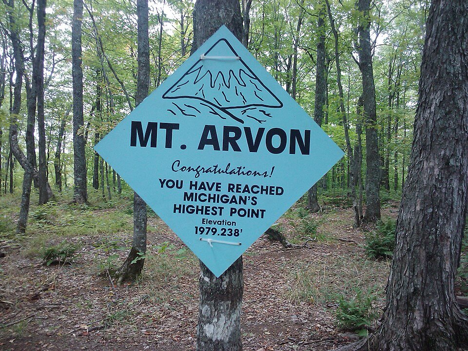
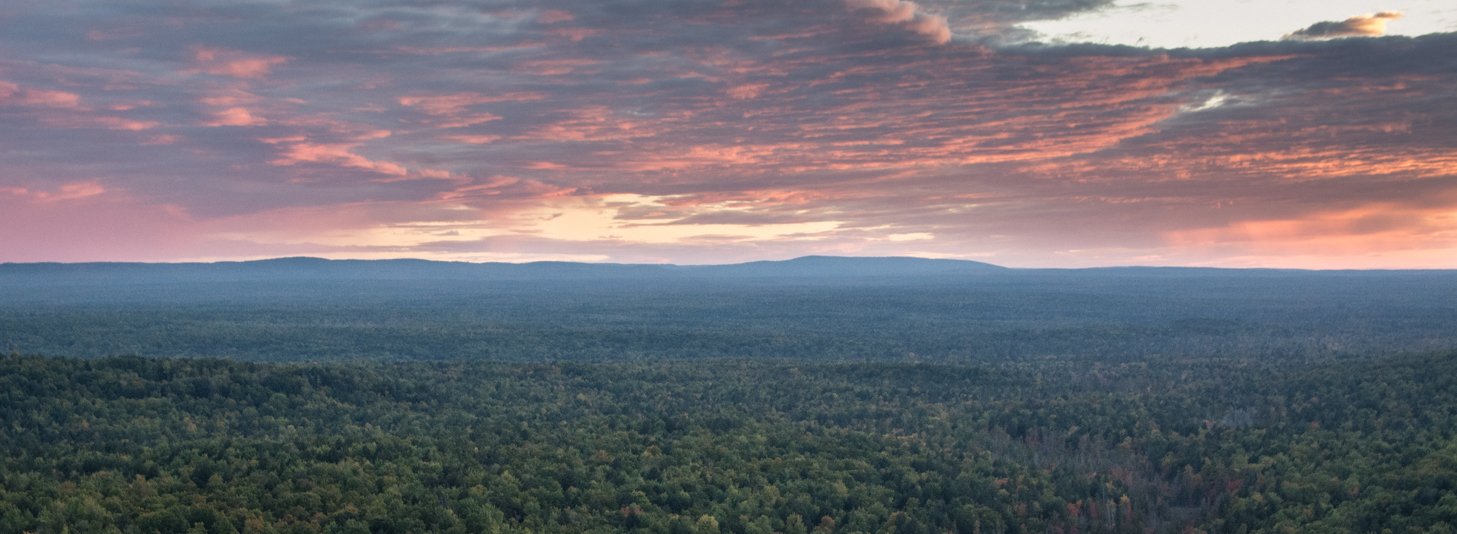
Mount Arvon: Michigan’s Highest Natural Point
Mount Arvon: Michigan’s Highest Natural Point
- Elevation: 1,979 feet (603 m)
- Located in L’Anse Township, Baraga County, in Michigan’s Upper Peninsula
- Accessible year-round with proper vehicle and weather conditions
- Free admission
- Offers a remote wilderness experience in the rugged Huron Mountains
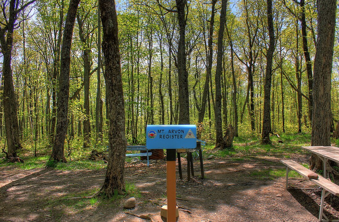
- Features a summit marker and registration box for peak baggers
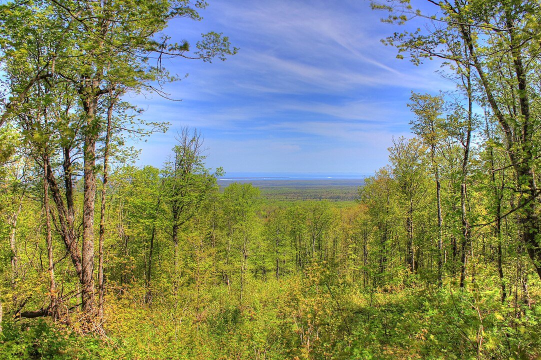
- Views of Lake Superior available from nearby clearing
- One of the most accessible state high points in the Midwest
Mount Arvon Summit Guide: Getting to the Top
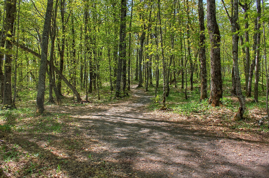
- Mount Arvon Trail Experience:
- 300-foot walk from parking to summit
- Optional hiking trails around summit area
- Well-marked route with blue diamond blazes
- Limited summit views due to tree coverage
- Driving to Mount Arvon: Road Guide:
- 30 miles from L’Anse (16 miles paved, 14 miles dirt/gravel)
- Last 10 miles high-clearance vehicle recommended
- SUV or larger recommended (RAV4, CR-V, or similar)
- Not recommended for passenger cars (some cars have made it)
Before starting your journey to Michigan’s highest point, here’s what you need to know.
Mount Arvon Visit Guide: Best Times, What to Bring & Weather Tips
Mount Arvon: Timing Your Visit
- Allow 1 hour
- Best visited May through October
- Dirt roads become challenging after rain
- Early morning visits recommended for best visibility
Mount Arvon: Winter Access Guide
- Snowmobile access via Mount Arvon Snowmobile Trail-14
- Cross-country skiing and snowshoeing options available
- Check trail conditions and get maps at local gas stations
- Sign summit guestbook in blue mailbox
Mount Arvon Packing List
- GPS or downloaded directions (limited cell service)
- Water and snacks (no facilities available)
- Camera
- Sturdy shoes for short summit walk
- Bug spray (summer months)
- Picnic supplies – on-site Picnic table available
- Grill Supplies Grill available
- Pen for summit guestbook (incase its missing or does not work)
Weather at Mount Arvon: What to Expect
- Summer temperatures moderate, 60-75°F
- Spring/Fall can be significantly cooler
- Dirt roads become challenging after rain
- Winter: can be deep snow and sub-zero temperatures
The remote nature of Mount Arvon means preparation is key.
Planning Your Mount Arvon Visit
On-Site Amenities
- Picnic table and grill
- Summit marker and registration box (leave your mark)
- No restrooms, water, or other facilities
- No cell service
Visitor Guidelines
- Stay on marked paths
- Pack out what you pack in
- Respect private property
- Sign guestbook (optional)
- No overnight camping
Getting to Mount Arvon
- Drive from L’Anse: 30 miles total
- 16 miles paved (Skanee Road)
- 14 miles dirt/gravel
- Follow blue diamond markers from church
- parking at summit area
- No public transit available
After exploring Michigan’s highest point, venture into the surrounding Upper Peninsula for hidden gems, local flavors, and authentic Yooper experiences.

Beyond the Summit: Upper Peninsula Adventures
Immerse yourself in authentic Upper Peninsula culture with these local favorites.
Upper Peninsula Events Near Mount Arvon
Winter Events (March)
- CopperDog 150
- Great Bear Chase
- Heikinpäivä
- MICHIGAN TECH WINTER CARNIVAL
- JIBBA JABBA RAIL JAM
- Porcupine Mountains Music Festival
Must-Try UP Foods & Dishes
- Pasties – Cornish miners’ hand pies
- Fresh Lake Superior whitefish
- Thimbleberry jam
- Finnish squeaky cheese (juustoa)
- Cudighi
Must-Do UP Experiences
- Watch Northern Lights (dark skies)
- Hunt for Yooper rocks (agate hunting)
- Photograph frozen waterfalls (winter)
- Try ice fishing
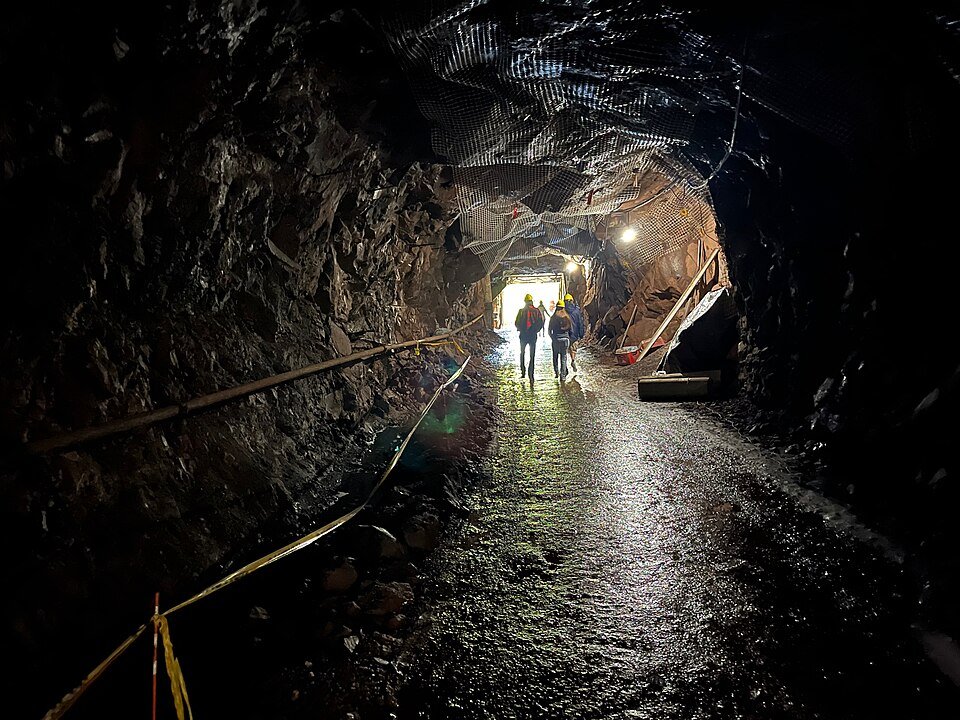
- Visit historic copper mines
- Catch a Lake Superior sunset
Best Things to Do in Michigan’s Upper Peninsula
- Canyon Falls (55 miles)
- Known as “Grand Canyon of the UP”
- Easy 1-mile trail to waterfalls
- Natural rock formations
- Huron Mountains (Surrounding Area)
- Remote wilderness hiking
- Pristine lakes
- Limited access adds to adventure
- Lake Superior Shore (15 miles)
- Beaches at L’Anse
- Scenic drives
- Fishing opportunities
- Copper Harbor (85 miles)
- Mountain biking trails
- Brockway Mountain Drive
- Lake Superior views
- Porcupine Mountains (90 miles)
- Michigan’s largest state park
- Backcountry camping
- Lake of the Clouds
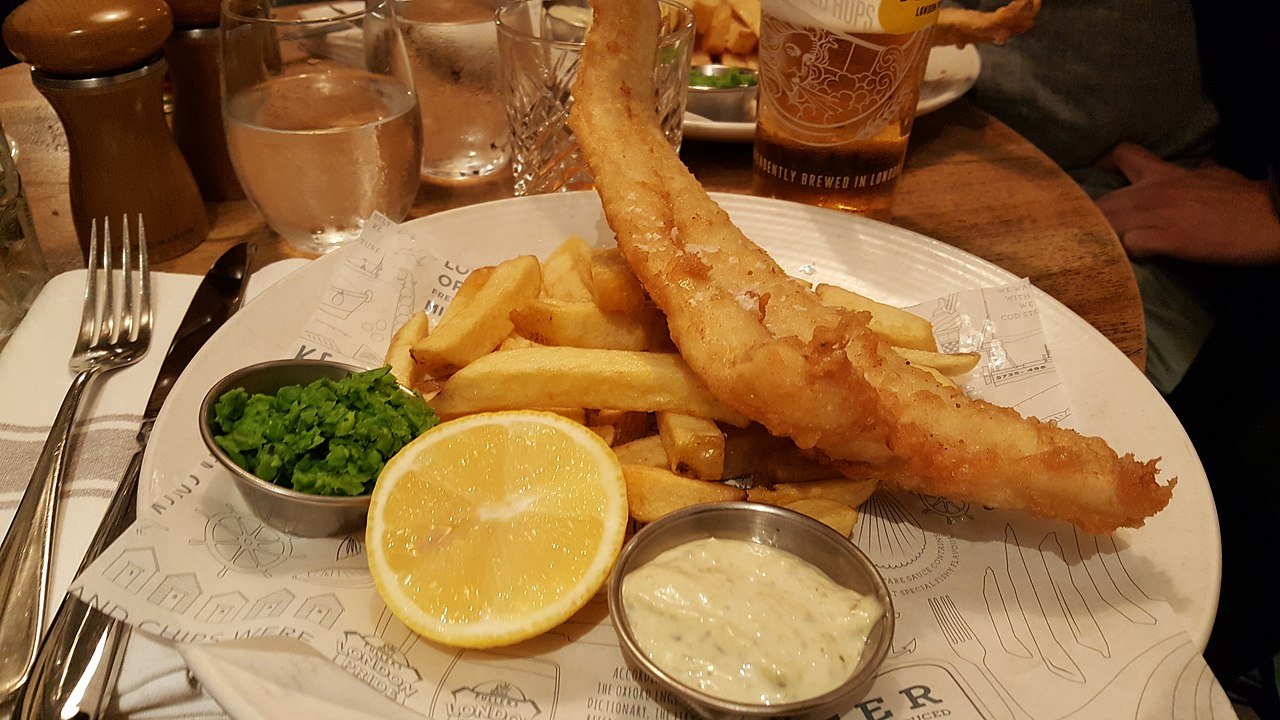
Upper Peninsula Food Guide: Where to Eat Local UP Specialties
L’Anse (Base Town)
- Skipper’s Fish Camp
- Fresh Lake Superior fish
- Local favorite
- Casual UP atmosphere
- Main Street Grill
- Classic American fare
- Pasties (UP specialty)
- Breakfast available
Baraga (8 miles)
- Lakeside Inn
- Lakefront dining
- Local whitefish
- Full bar
Marquette (60 miles)
- Blackrocks Brewery
- Craft beers
- Food trucks
- Popular with outdoor enthusiasts
- The Vierling
- Historic brewery/restaurant
- Fresh fish
- House-brewed beer
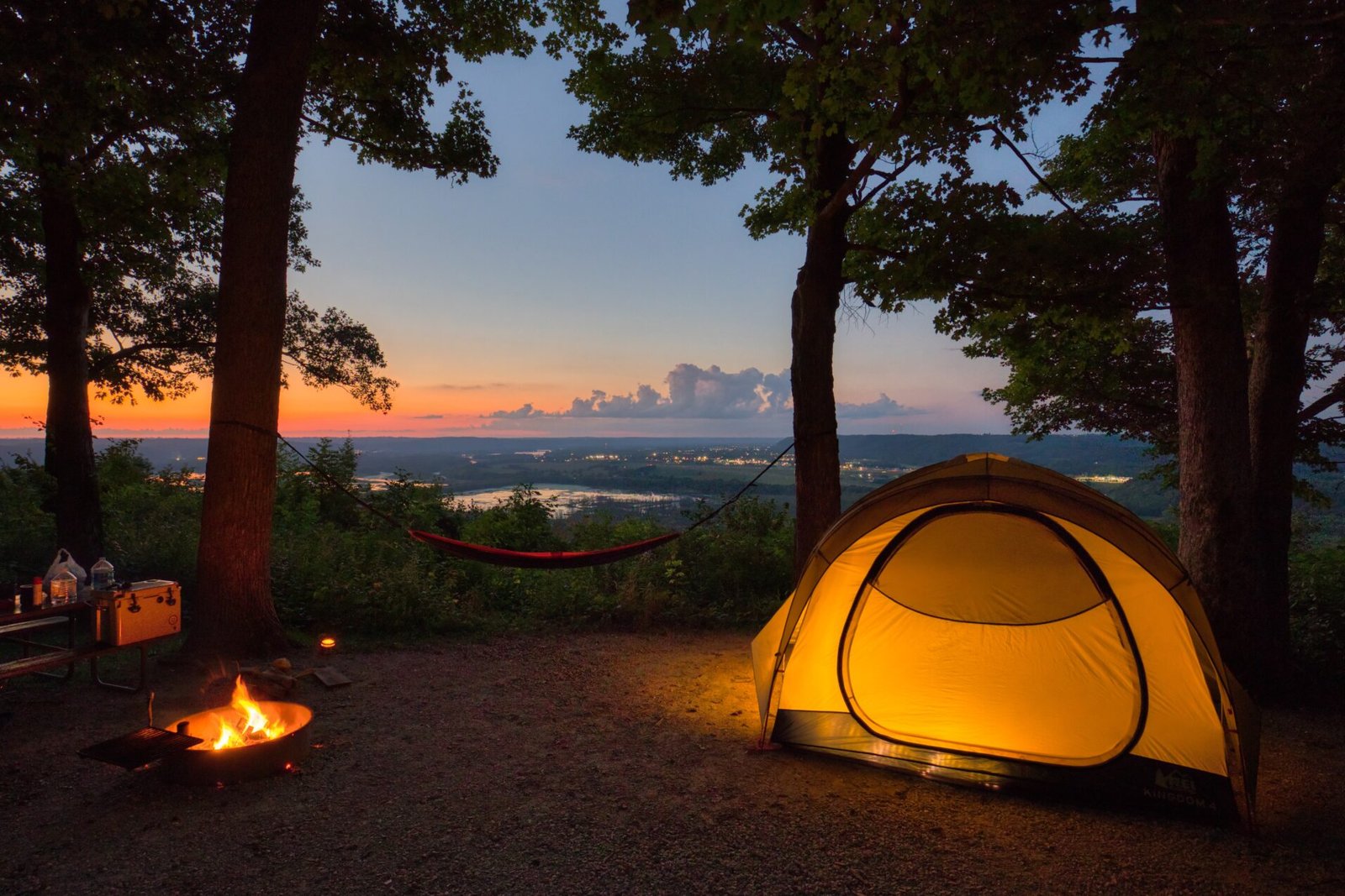
Unique Places to Stay Near Mount Arvon
Rustic Retreats
- Sturgeon River Campground (25 miles)
- Riverside camping
- Dark sky viewing
- Kayak rentals
- Craig Lake State Park (30 miles)
- Remote yurts
- Backcountry camping
- Limited facilities
Luxury & Unique
- Keweenaw Mountain Lodge (80 miles)
- Historic log cabins
- Dark sky sanctuary
- Fine dining
- Landmark Inn (Marquette, 60 miles)
- Boutique historic hotel
- Lake Superior views
- Luxury amenities
Lakeside Options
- Carla’s Lakeshore Inn (L’Anse)
- Waterfront rooms
- Basic amenities
- Close to dining
Quick answers to common questions about visiting Mount Arvon.
Frequently Asked Questions
Common Questions About Mount Arvon
How long is the hike? 300 feet from parking to summit. Optional trails available.
Best time to visit? May-October for driving. Winter accessible by snowmobile/snowshoe.
Cell service? None. Download directions beforehand.
Vehicle requirements? High-clearance vehicle recommended. Standard cars not advised.
Why visit? Michigan’s highest point, wilderness experience, bragging rights.
What’s a cudighi? Italian-style spiced sausage sandwich, unique to the UP. Usually served with mozzarella and tomato sauce.
What is juustoa? Finnish squeaky cheese, baked until brown. Local specialty found in UP restaurants.
What’s in a pasty? Traditional UP hand pie filled with meat, potatoes, rutabaga. Miners’ lunch turned local delicacy.
Mount Arvon Travel Resources
- Hiking Map
- UP Snowmobile Association (winter)
- Local weather radar
More Adventures
Oswald Bear Ranch

Quincy Mine

Disclaimer: While we strive for accuracy, hours of operation, prices, and availability may change. Always verify current information directly with the venue before visiting. Travel times are estimates and may vary significantly based on traffic, weather, and seasonal conditions. Names of attractions and businesses mentioned are property of their respective owners. Content on this page is for informational purposes only and does not constitute official endorsement or affiliation. We recommend checking official websites or contacting venues directly for the most up-to-date information.
 Own or work here?
Claim Now!
Claim Now!
Own or work here?
Claim Now!
Claim Now!
